Wednesday, September 11, 2013

An iPhone app that allows you climb more and search less!

In my last post I was dreaming about guidebooks with GPS locations. The universe heard me and gave us one better, Rakkup! Rakkup is an iPhone application with turn for turn instructional guides and GPS locations. Oh and by universe I meant two awesome Seattlite climbers!


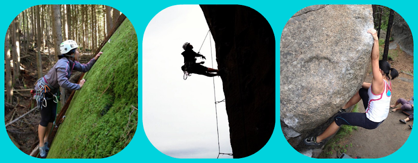
Image from: Adventure Journal

So more on Rakkup...It is a free to download iPhone application. Individual guides can be purchased for less than print cost. Our two Seattlites personally spent a week in California locating approaches and routes for their first guide release, Red Rocks. Here’s the good news fellow Seattlites, Rakkup has released a guidebook for a location right here in Washington state; Exit 32 in North Bend, home of the well-known crag called World Wall. For you Oregonians Rakkup's got you covered too with a guidebook for Smith Rocks.

A big question that must be lingering in your head, what if I don’t have any cellular service in the climbing area? Not a problem! Each guide downloads onto your phone and uses your phone’s GPS location to keep you heading in the right direction to the crags. Sweet right?!

We have a nice bookshelf that contains all of our pretty paperback guidebooks and what do we do? We pack up our gear and head out the door before grabbing it! I'm excited by the possibilities of never having to experience the disappointment when we realize we forgot our guide and we're already 1 hour away from home at the start of the trail head /facepalm. The day has come where we will no longer need additional gear except the one we always have in our pocket - our phone. Goodbye paperback guidebook, goodbye digital cameras, goodbye garmin gps systems...

I hope to test Rakkup in North Bend this weekend. Fingers crossed! Once I do I'll create a new post with my personal review. All previous information came from Rakkup.com and a review by Adventure Journal.

Cheers friends!

-Elle

Tuesday, September 10, 2013

80% looking for the crag & 20% climbing

I'm waiting for the day where guidebooks have gps locations for crags and real identifiable locator photos. Until then, it is just a known factor that when looking for a new spot you will spend 80% of your time looking for the climbing area and 20% actually climbing.

This weekend we decided to go to Vantage. Earlier this season we climbed on the sunshine wall and the feathers. This time the weather channel was forcasting abundant sunshine and 88 degree weather (woof). During the 2.5 car ride to Vantage, my boyfriend did a little guidebook reading and read up about shady spots. The guide mentioned a small wall that is shady from morning until about 1pm in the afternoon. Perfect!

So we began the 80% of the trip - finding the lower trail.

The guide led us to the lower parking lot area off of old vantage road. Then it instructed us to follow the well identified trail until we see a stack of rocks - take a left at the 'y' and follow the zig-zag to the lower trail and walls.

Hmmm...is it just me or do directions like this happen often? I recall last summer while bouldering in Leavenworth off of icicle creek the guide told us to look for the big "egg shaped" boulder located on the side of the road. If you have been to Leavenworth you'll know that is like being instructed to look for the pine tree in a forest filled with pines. VERY HELPFUL. Thanks...

We ran into a few other climbers walking along the well established trail. They had no idea there was an actual smaller trial leading to the lower walls. They just picked a spot to scramble up. Let me just say, we watched them do it and it didn't look the least bit enjoyable, not to mention dangerous.

My boyfriend is the persistent type, so our search continued for the smaller trail. We thought we spotted it so we started hiking up. Instead of a trail we found ourselves pulling at sketchy chossy rocks. I gave myself a bit of a fright when I yanked at a rock, it fell and I nearly tumbled. Then lo and behold we looked to our left and A TRAIL! A beautiful, well established TRAIL! We followed that little beauty and it took us to the glorious little shady wall spot. Okay, it actually wasn't that great of a wall, mostly lower 5.8, 5.9 routes. But for warm up it wasn't so bad. Plus in the heat it was fantastic! The light wind actually gave us chills as our sweat dried in the breeze - TMI?

On our way back down the trail, after we couldn't possibly take anymore direct sunshine, we stacked rocks at the beginning of the 'y' trail for the next group of people.

Now that we've found the trail and all of the wall of routes it leads to, we are ready for fall to bring around the cooler weather so we can climb! Next time it will be 80% climbing and 20% approaching the crag ;)

Here is a panoramic view of the echo basin on a gorgeous day in Eastern Washington!

Happy climbing guys!

-Elle